Oblique photography
The angle
the listing needs.
Aerial photographs of a property, a corridor or a skyline, shot from the direction that shows it best and in the light the brief calls for. Delivered as a gallery you flip through, filter by lens and download from, not a file-share link full of numbered JPEGs.
From the archive · commissioned obliques
The uncommon angles
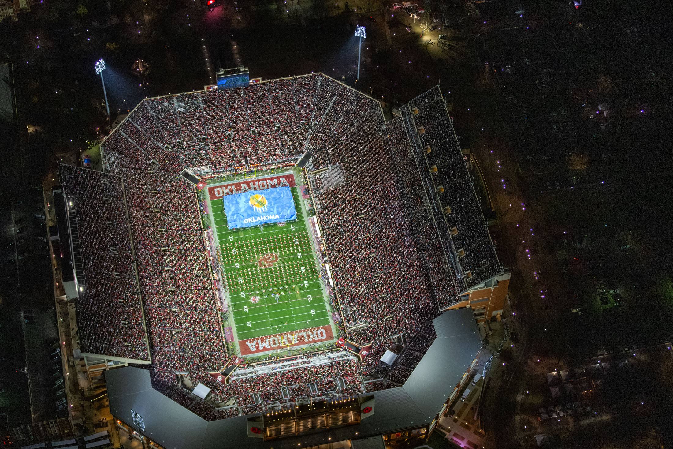
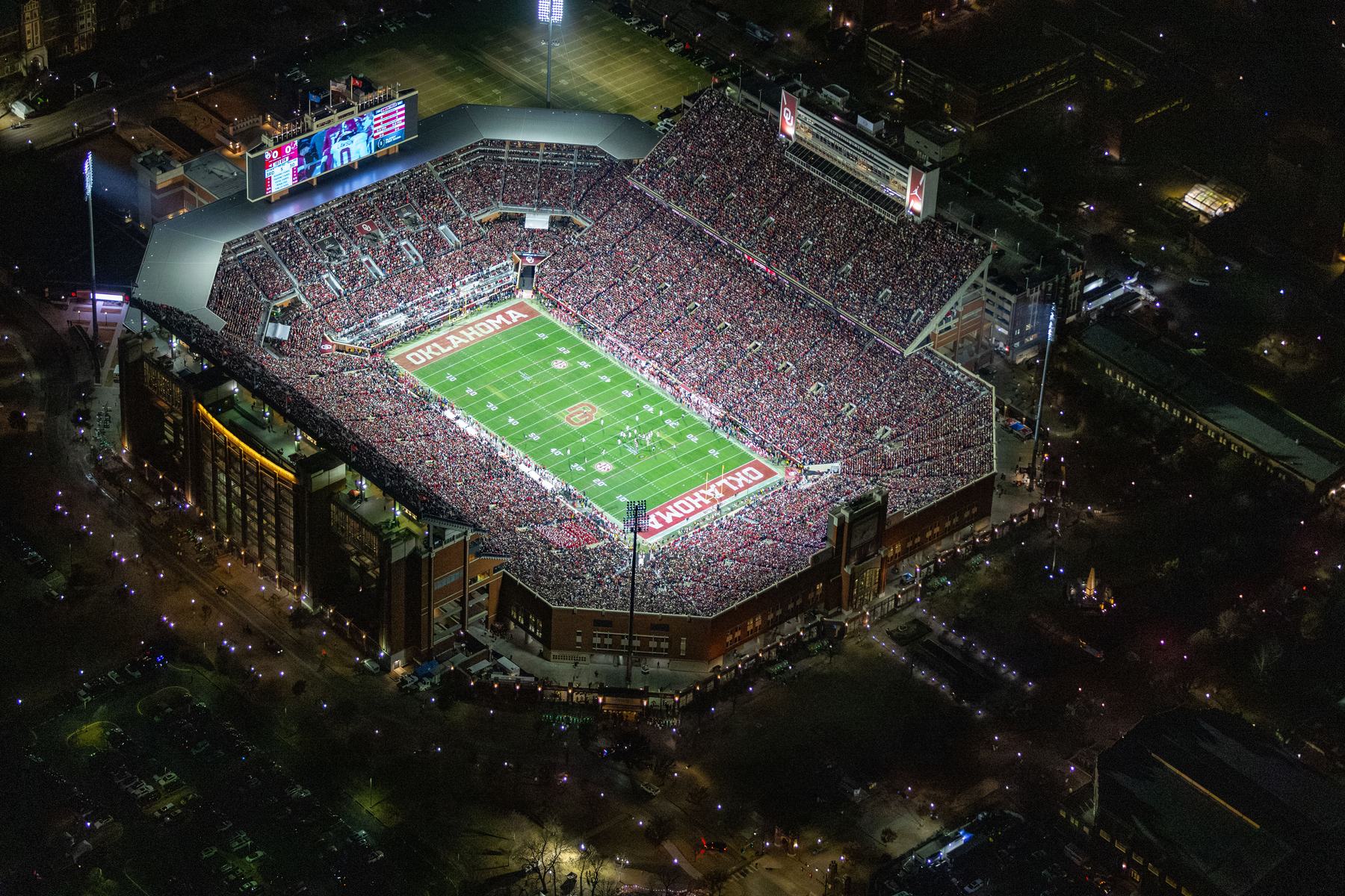
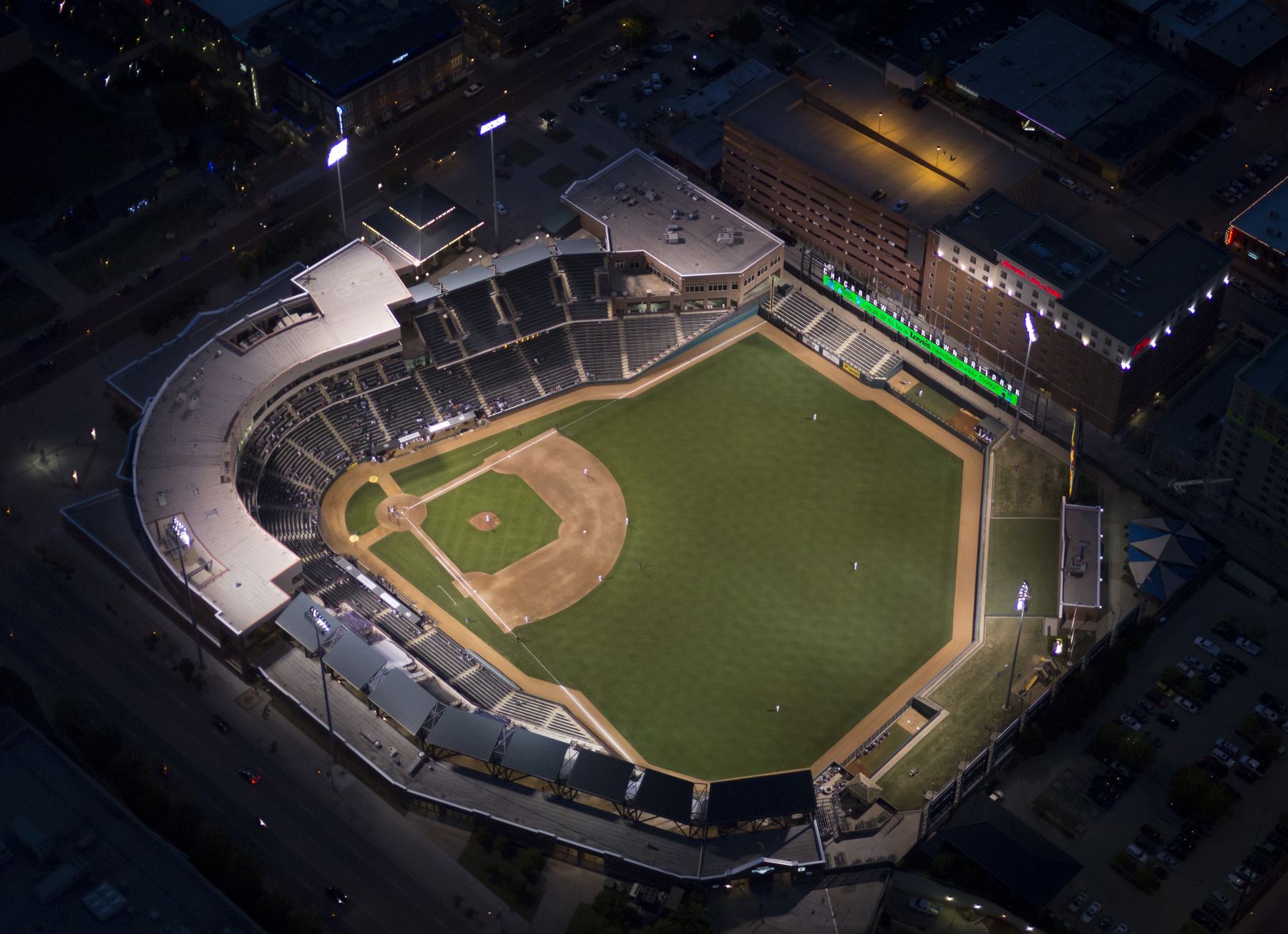
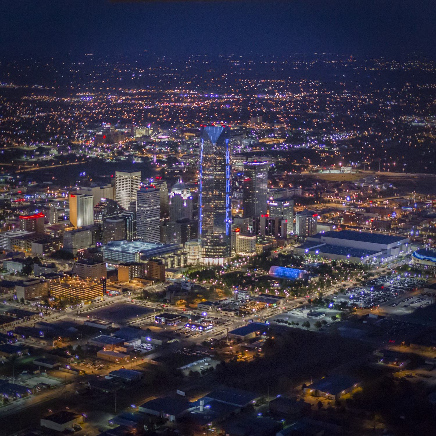
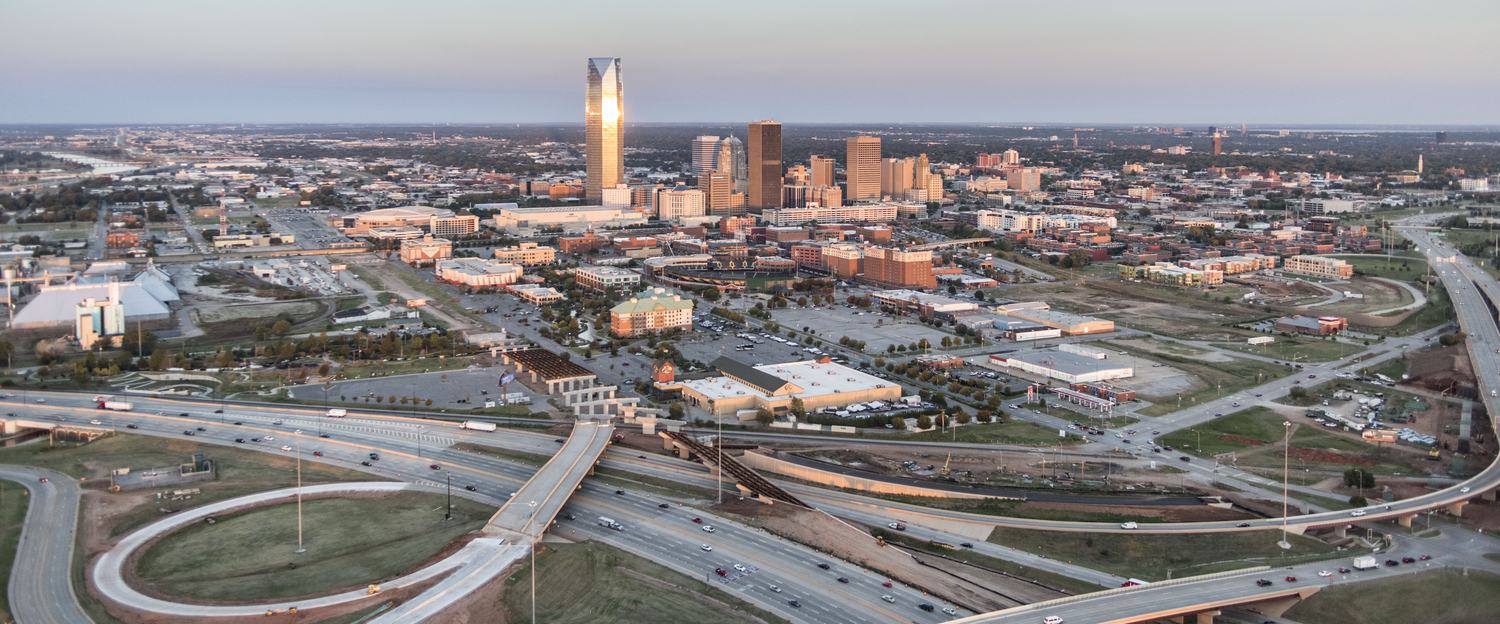
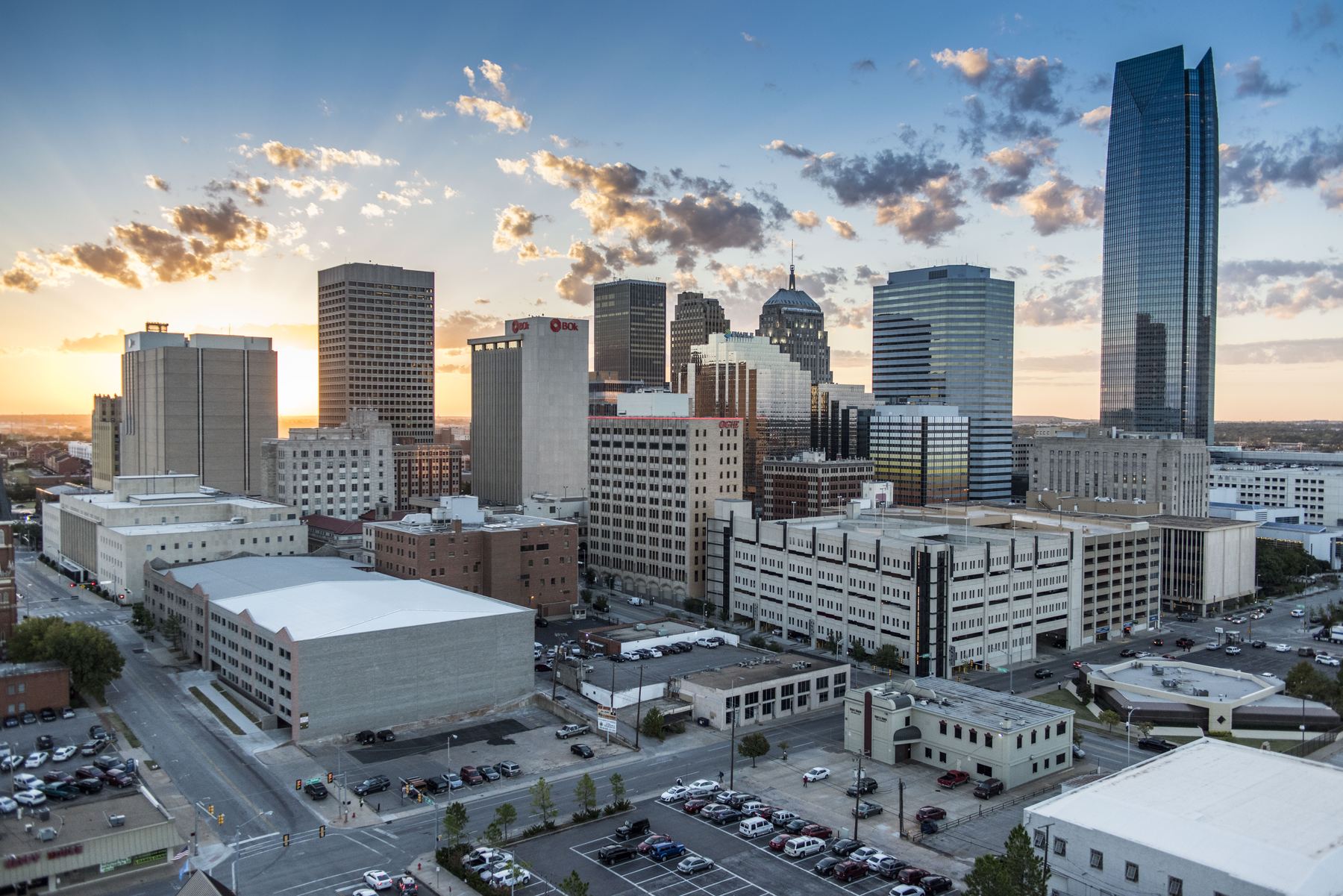
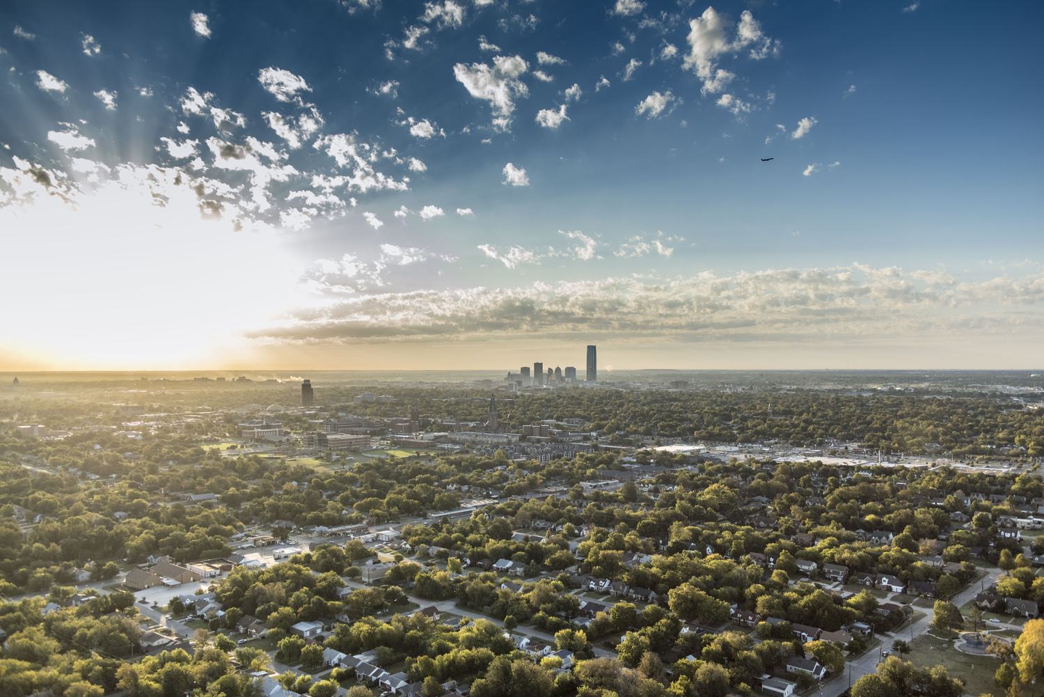
Dusk light, helicopter work, a stadium full on a December night and a city holding its breath before first pitch, when the brief calls for it. A plain daytime set of a warehouse gets the same care; it just needs less of it.
How a job runs
Brief, flight, gallery
-
The brief
What the picture is for, which sides of the property matter, what to keep out of the frame, and whether it's day, golden hour or after dark. A marked-up map or a listing link is plenty. If the site has a model from a mapping flight, the frames get solved to it as well.
-
The flight
Flown from our Cessna 177, a high-wing aircraft with no strut in the way of the lens, or from a helicopter when the brief wants lower and closer. Several lenses on every pass, so the wide establishing view and the tight detail come from the same light. Properties in the Oklahoma City metro ride a regular loop; farther out, we pair the site with other work in the area or fly it on its own.
-
The gallery
The frames land in the viewer as a gallery: flip through, filter by lens, download one frame or a zip per lens, and send the link to whoever is building the brochure. Private to your team if you want it private. The originals stay on file for reorders.
When the site has a model
The photograph, and the model
at the same angle
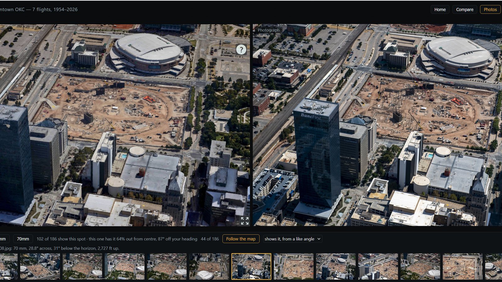
A mapping flight and an oblique set of the same site can be joined: every frame is solved to the 3D model, so the viewer knows where each one was taken from and what it shows.
2,727 FT UP
FRAME 44 / 186
Obliques, with the model
The photograph, and the model at the same angle
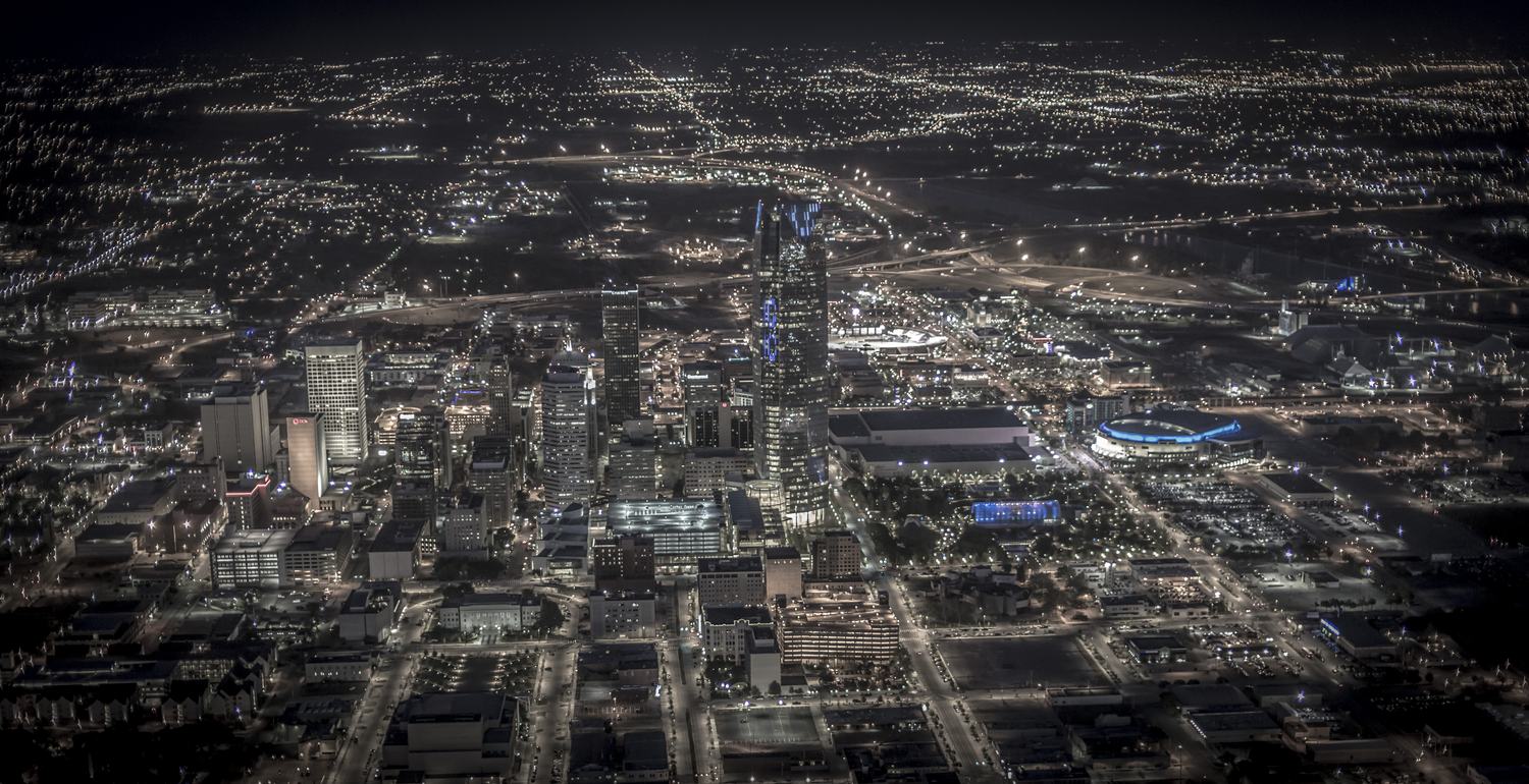
Downtown Oklahoma City on one September morning: 186 frames on two lenses, every one solved to the model, on a project that also carries seven flights back to 1954. Steer the model and the frames that show what you are looking at come to the front; pick one and the model turns to match it. The second button loads the Gold Dome, the first job that tied photographs to a model.
- SPLITModel left, photograph right
- LENSES70 mm · 200 mm
- FOLLOWFrames rank by what is in view
- TIMELINESeven flights, 1954 to 2026, same model
Who orders obliques
Listings, offerings and the record
Commercial real estate
Listings and offering memoranda, site-selection packages, and the one photograph that shows the frontage, the access and the neighbors in a single frame. Brokers reorder the same property as it changes hands; the originals stay on file.
Marketing and brand
Campus, headquarters, stadium and skyline work, timed for the light. Night and golden-hour frames are flown when the brief calls for them, not when the schedule happens to allow.
Developers and construction
A site before the first shovel, then the same angles as it rises. An oblique set can ride along with a monthly mapping flight, so the pictures and the measurements come from the same day.
Utilities and industrial
Plants, substations and corridors documented from the air for planning, insurance and reporting, kept private to the company.
- SITEMarked on the map; one property or several
- ANGLESEvery side that matters, on several lenses
- LIGHTDay; golden hour or night on request
- EXTRASMore than one altitude; a mapping flight of the same site
- DELIVERYGallery link; one frame or a zip per lens
- ACCESSPublic or private, your call
Questions
Before you order
How soon can it be flown?
Metro properties ride the next pass of the loop, weather permitting; ask and we'll say when that is. A site farther out waits for other work in the area unless it's flown on its own, which is a different quote. Golden hour and night work depends on the forecast, so it's booked as a window rather than a day.
Can I add obliques to a mapping flight, or a model to an oblique job?
Both. Obliques ride along on a mapping flight of the same site, and a mapping flight can be added to an oblique package. When both exist, the frames are solved to the model and the viewer shows them side by side, as in the Gold Dome demo above.
What do I get, exactly?
Every usable frame from the flight, in a gallery in the viewer, grouped by lens. Download any frame at full resolution or a zip per lens. There is no per-image pricing and no watermark.
Do you fly drones?
Our work is flown from our Cessna 177, and from a helicopter when the brief wants lower and closer. That is what lets one flight cover a skyline, a corridor and a property on the same afternoon, from altitudes and in airspace a drone can't use.
Contact
Describe the shot
Which property, which sides matter, what it's for and when it's needed. A brief in three lines is enough to quote from.
Oklahoma City, OK 73118