Where it comes from
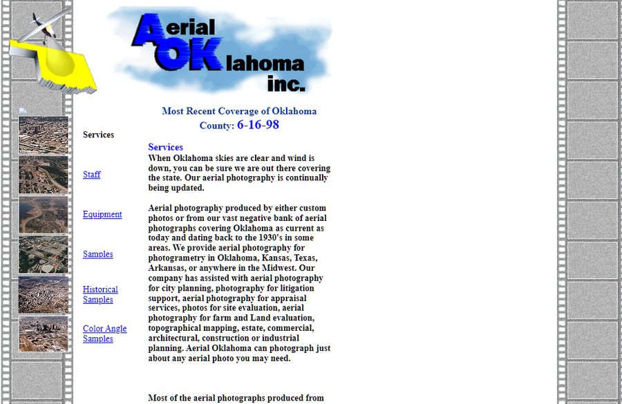
Our founder, Tod Yeager, started in a darkroom. In the mid-1970s he went to work at Ace Aerial, the Oklahoma City aerial photography firm started after the Second World War by a pilot who had flown reconnaissance in it, and he was there for the next twenty years. In 1983, still at Ace, he bought a Cessna 172 and started a business of his own on the side, M.T. Yeager and Associates, flying aerial surveillance of the MCI and Sprint network buildouts of those years. That is the business on this site, and the year on the masthead. In 1995 he left Ace, and he and his wife, Patti Yeager, founded Aerial Oklahoma on what he had built.
His son grew up around it and came in full time in the early 2000s, as camera operator on the RC10 mapping camera and then through the move from film to digital: our film archive and the Oklahoma Department of Libraries collection scanned into county mosaics, and the Historical Decade Package introduced in place of selling single frames one at a time. Around 2015, with the founder four decades into the work, the company became Aerial Oklahoma LLC and passed to his son, Jamin Yeager, who runs it today.
What we do now
Three things: photogrammetric mapping of sites and corridors, oblique photography for listings and marketing, and the Historical Decade Package: every year we hold for one place, one frame each, cut to the same footprint at the same scale. The package is where most of our work starts, whether the question is environmental, planning, a property line or a keepsake. All of it is delivered through a viewer we built and host ourselves, so a link is the deliverable and nothing has to be installed to open it. Our clients are engineering firms, utilities, environmental consultants, attorneys and public agencies; the work we do is for engineering firms, utilities, environmental consultants, attorneys and public agencies.
The archive
The archive is our survey coverage of Oklahoma over the decades, the film collections we digitized, and the public record: the federal farm-program surveys that began in the late 1930s and the government programs that followed. Frames are scanned, indexed and registered to current mapping of the same ground as they are ordered, so a package lines up rather than merely stacks. The archive is Oklahoma; for a site elsewhere we work from the public record and say what exists before anyone commits.
It does not include flights commissioned by clients. A flight you commission is yours: it is not filed in the archive, and it is never sold or licensed to anyone else.
How the work is done
The mapping platform is one we designed and built ourselves: a Cessna 177, a high-wing aircraft with no wing strut, so nothing sits between the camera and the ground, flown by our pilot, Tyson Mauldin, and carrying a Phase One iXM-RS150F, a 150-megapixel aerial camera, with PPK/RTK positioning good to about 3 cm, so the camera's position is known for every frame. Targets go on the ground when a client needs the accuracy proved independently, not because the work requires them. Processing is done in-house on our machines and the results are published to our servers. When a job must state an accuracy, independent checkpoints are measured and reported with it. When a photograph is the point, it is flown in the light the brief calls for, not the light the schedule allows.
Litigation support
Since 2015 we have produced hundreds of printed courtroom exhibits, and more digital ones than printed, for condemnation, adverse possession, boundary and environmental matters. Jamin Yeager has been qualified as an expert witness in Oklahoma district courts since 2021, has testified at deposition and trial, and has authored expert reports. That work is taken on case by case, in conversation with counsel; the imagery itself anyone can order from the map.
Aerial Oklahoma since 1995
- EXPERT WITNESSQualified in Oklahoma district courts, 2021
- TESTIMONYDeposition and trial
- REPORTSExpert reports prepared for counsel
- EXHIBITSHundreds, for trial and deposition, since 2015