Orthomosaic
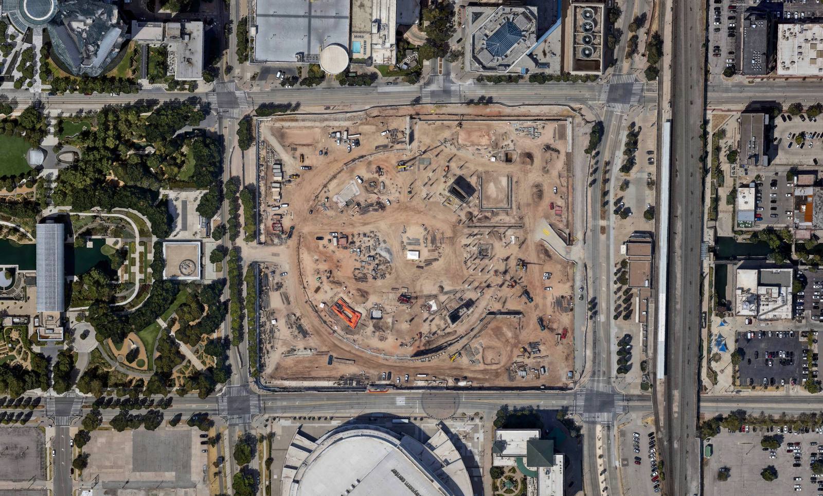
The site in true plan view, north up, one scale from edge to edge, the way a plat is. The base for linework, plates and area takeoffs.
- VIEWTrue orthographic
- RESOLUTIONChosen per job
- FILESGeoTIFF, tiled for GIS
Aerial mapping
Photogrammetric mapping from our aircraft: orthomosaics, 3D models and surfaces of a site or a corridor, at the ground resolution the job needs, once or every month. Delivered in the viewer, where it can be measured, compared and printed to scale, and as files your GIS and CAD already read.
What comes back
A single pass over the site produces all of these from the same frames, so the orthomosaic, the model and the surface agree with each other to the pixel.
The site in true plan view, north up, one scale from edge to edge, the way a plat is. The base for linework, plates and area takeoffs.
The site as a photogrammetric mesh you can turn, tilt and measure in the browser: heights, slopes, lines of sight, and the same view from any angle a photograph was taken.
Elevation models, contours and volumes from the same frames, for drainage, grading, stockpiles and design, in the formats your CAD or GIS expects.
Obliques and video ride along on any mapping flight; see oblique photography.
Resolution and accuracy
You choose the ground resolution when you order: finer for design, dispute and volume work, coarser for long corridors and large areas where the question is what is where, not how many inches. The price follows the resolution and the area, so a corridor flown at the resolution it needs costs a fraction of one flown at the resolution a driveway needs.
The camera is a Phase One iXM-RS150F, a 150-megapixel aerial system, flown on a Cessna 177: a high-wing aircraft with no wing strut, so nothing sits between the lens and the ground. The camera's position is measured for every frame to about 3 cm, a little over an inch, by PPK/RTK GNSS, and the frames are processed against that record, so most jobs need no targets placed on the ground and nobody walking the site. When a job must state an accuracy, independent checkpoints are measured and the results are reported with the deliverable, not assumed.
Right-of-way, pipelines, transmission and roads: a strip mapped end to end, the agency's or the design linework laid over it in the viewer, and a plate per parcel at an engineering scale. The viewer's plan view is true orthographic, so one scale bar is right across the whole sheet.
For a competitive transmission bid the same strip becomes the route presentation: the proposed line flown end to end on our imagery of the corridor, every crossing shown as the reviewers will see it, and the constraints they score drawn on the same ground. We have built these for eight of a transmission developer's bids since 2021, seven of them awarded; in its public evaluation of one, the grid operator wrote that the video “efficiently conveyed a large amount of information in a concise manner” (SPP, April 2022, p. 245).
Weekly, monthly or quarterly flights of the same site sit on one timeline. Each flight is flown the same way, so the change you see between two dates is change on the ground, not a different camera or a different altitude. Any two flights go side by side with a divider; volumes come from the surfaces between them.
A flight you commission is yours. It is not filed in our historical archive, and it is never sold or licensed to anyone else. A private job opens only from the link we send you, and only the people you pass it to see it.
We are based in Oklahoma City and the aircraft goes where the work is: across Oklahoma routinely, and to neighboring states and beyond for corridor and program work.
Month over month
Thirty flights of one infrastructure project over ten years, a lake dam rebuilt, and forty-seven of a tank farm in eleven months. Drag the divider, pick any two dates, measure anything you can see. This is a mapping program, delivered.
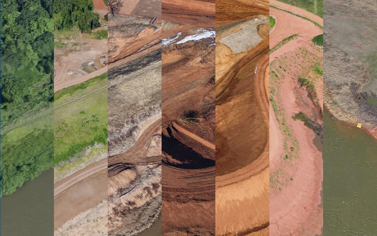
Thirty flights of one infrastructure project, a lake dam rebuilt 2016 to 2026, opening with January 2021 left of the gold divider and February 2026 right. Drag the divider, pick any two dates, measure anything you can see. The second button is the tank farm at Cushing, flown forty-seven times in eleven months; the third is the stadium in Norman, mapped on a Tuesday and again on the Saturday, empty beside full. All three are mapping work, delivered.
Questions
By area and resolution for a site, by length and width for a corridor. Draw it on the order page, pick the resolution, and the quote comes back by email. Processing is included; there is no separate charge for the model or the viewer.
Usually not. The camera's position is measured for every frame to about 3 cm by PPK/RTK GNSS, and the frames are processed against that record. When a job needs a stated accuracy, we measure independent checkpoints and report the results with the deliverable.
Orthomosaics as GeoTIFF, surfaces and contours in the formats your CAD or GIS expects, point clouds when the job calls for them, and KMZ for anyone still on Google Earth. Everything also lives in the viewer, where it can be measured and shared without any of those programs.
It depends on the area and the resolution. A single site is usually in the viewer within days of the flight; a long corridor takes longer. Tell us the date you need it by and we'll tell you whether it's realistic before you commit.
Yes. The aircraft has worked corridor and program jobs in neighboring states and beyond. For a one-off site far from home the ferry becomes part of the price, so say where it is and we'll quote it honestly.
Contact
Where it is, what has to be measured, how fine, and how often. If you can draw it on a map, the order page will price it.