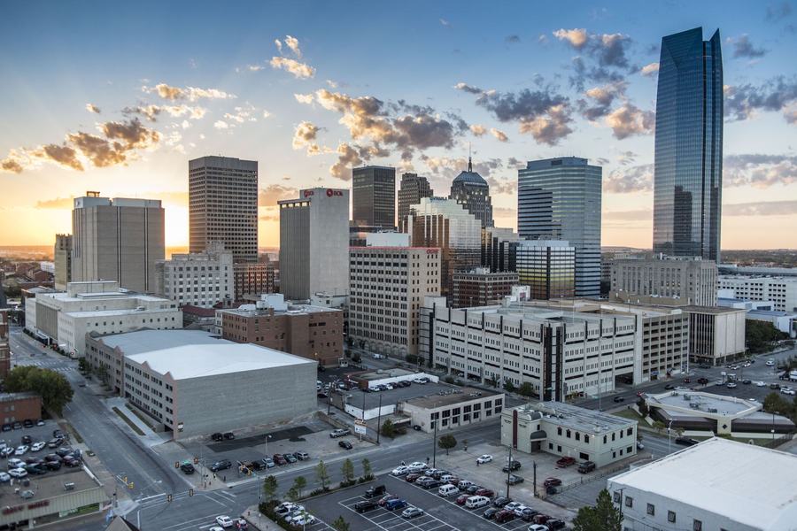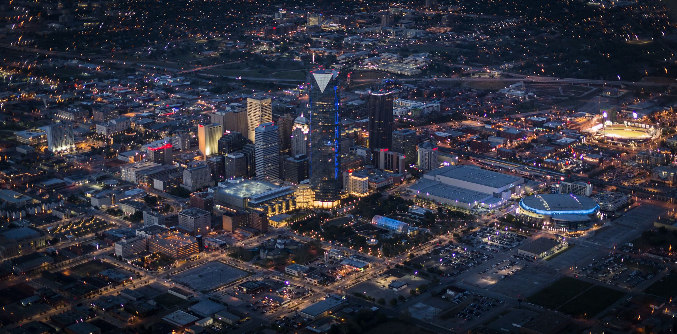
Downtown Oklahoma City at night from the air, Devon Tower lit blue

35.4934° N  ·  97.5151° W  ·  Oklahoma City

Prove the past.
Measure the present.

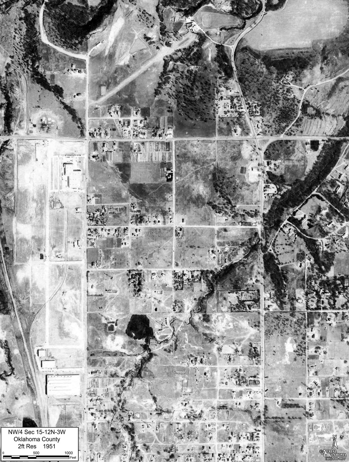
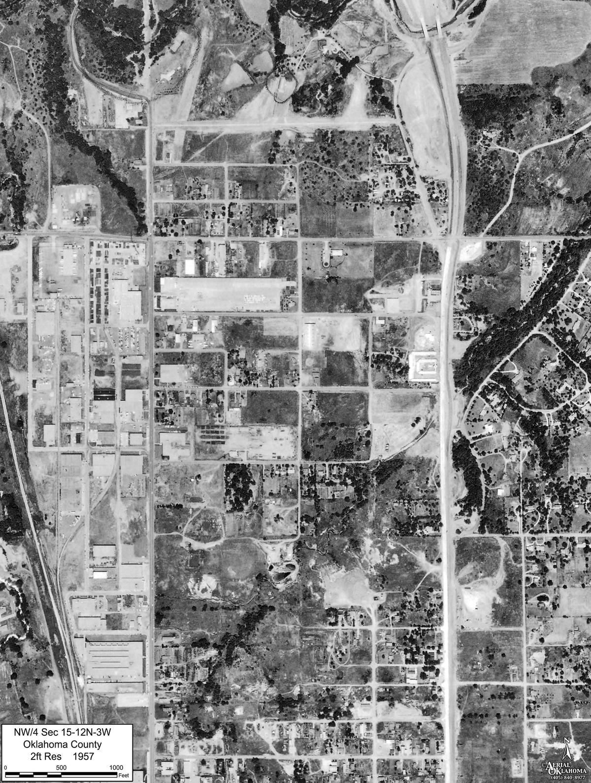
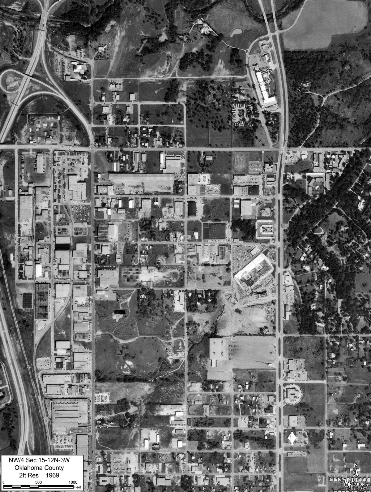
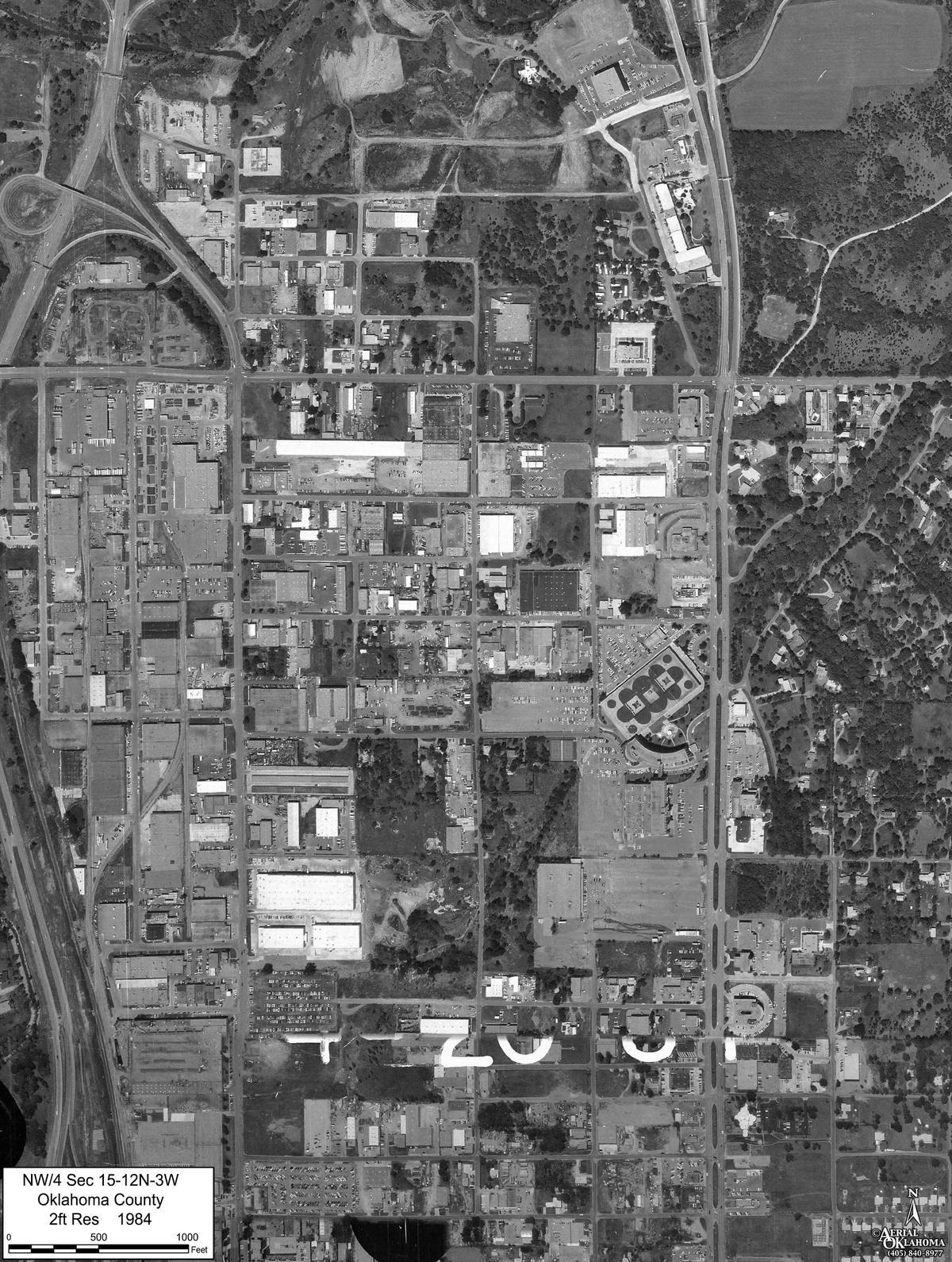
We fly Oklahoma, rebuild it as a measurable 3D model, and set it beside aerial frames going back to 1937. You get all of it in a browser, from a link: measured in feet, shown in true plan view, and printed to scale.

SERVICE SINCE 1983 FRAMES FROM 1937 PROJECTS ONLINE 140+ FLIGHTS ONLINE 320+ PLAN VIEW TRUE ORTHO AIRCRAFT CESSNA 177 · PHASEONE 150 MP POSITIONING 3 CM PPK/RTK

Live, not a screenshot

Two demos, running in your browser

Both open the real viewer, the same one clients use. Nothing to install.

view.aerialok.com · Lake Dam Reconstruction · 2021 beside 2026
L 2021-01-29 · R 2026-02-16
HDG 346° · PITCH −34°
FLIGHT 30 / 30
200 ACRES · 30 FLIGHTS · 2016–2026

Ten years of one site

A lake dam, before and after, on one screen

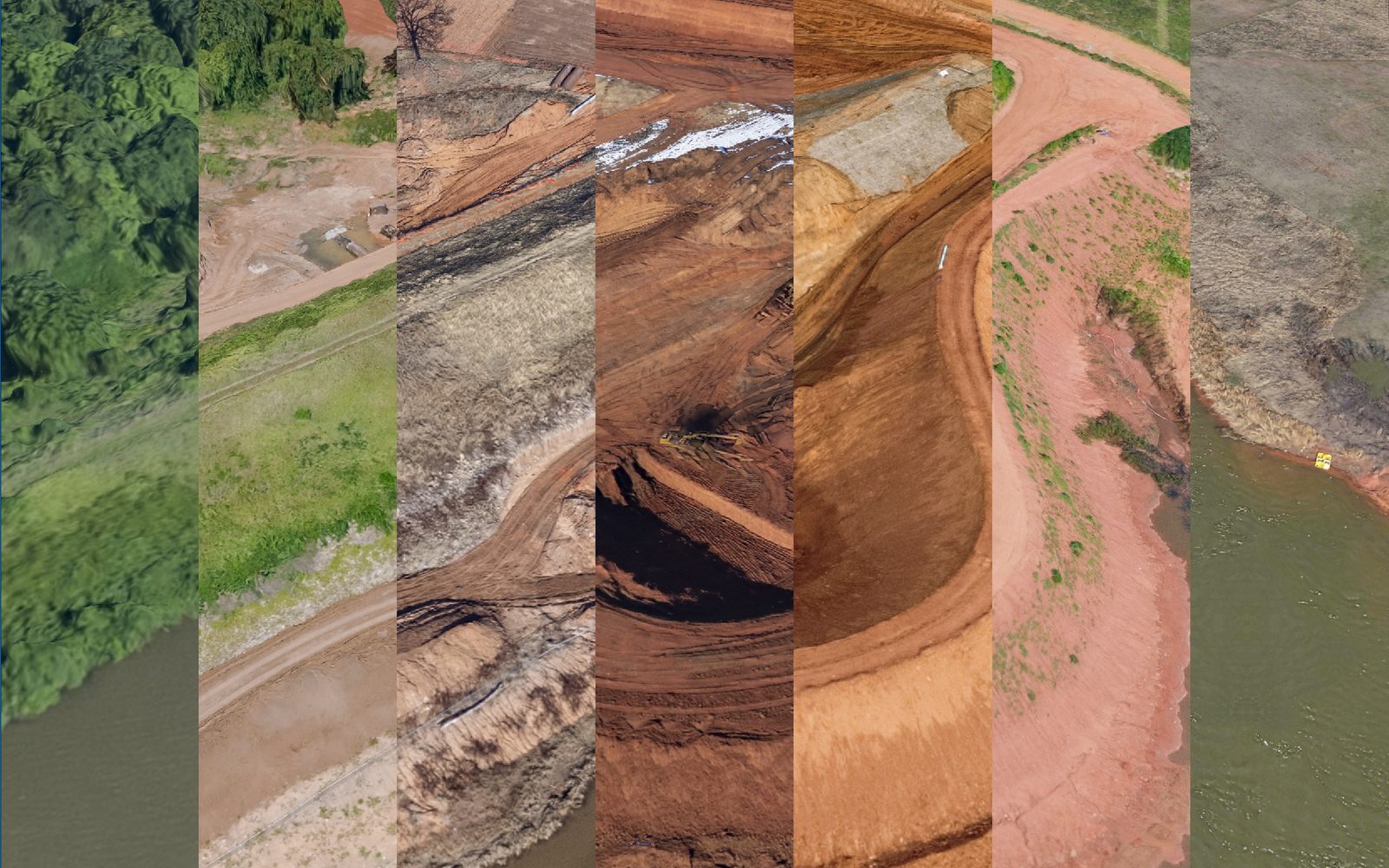
Thirty flights of one dam rebuild. It opens with January 2021 on the left of the gold divider and February 2026 on the right; drag the divider, pick any other two dates, scrub the timeline, and measure anything you can see. No plugin to install, no GIS seat to pay for.

  • MODELPhotogrammetric mesh
  • TIMELINE30 flights, 2016–2026
  • COMPAREAny two dates, side by side
  • TERRAINStatewide, self-hosted
view.aerialok.com · Gold Dome · model beside photograph
The Gold Dome in Oklahoma City: the 3D model on the left, the oblique photograph of the same view on the right
70 MM · 22° BELOW HORIZON
2,403 FT UP
FRAME 10 / 129
129 FRAMES · 3 LENSES · ONE FLIGHT

Obliques, with the model

The photograph, and the model at the same angle

One flight over the Gold Dome, 129 frames on three lenses, every one solved to the model. Steer the model and the frames that show what you are looking at come to the front; pick one and the model turns to match it. Clients download a frame, or the whole set.

  • SPLITModel left, photograph right
  • LENSES70 mm · wide · 200 mm
  • FOLLOWFrames rank by what is in view
  • DOWNLOADFor the client: one frame, or a zip per lens

Historical imagery · the time machine

Same city blocks.
Seventy-two years.

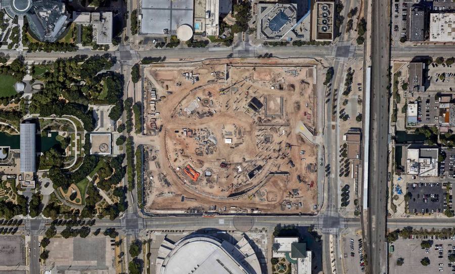
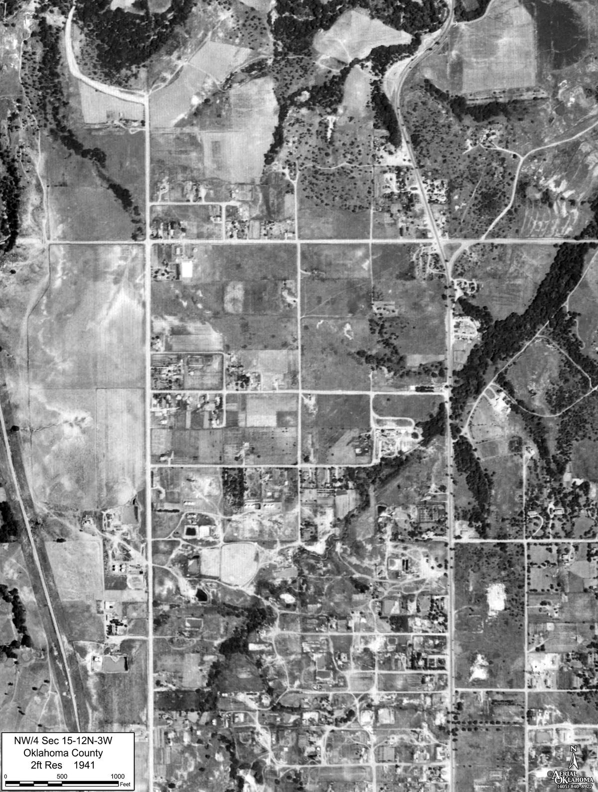
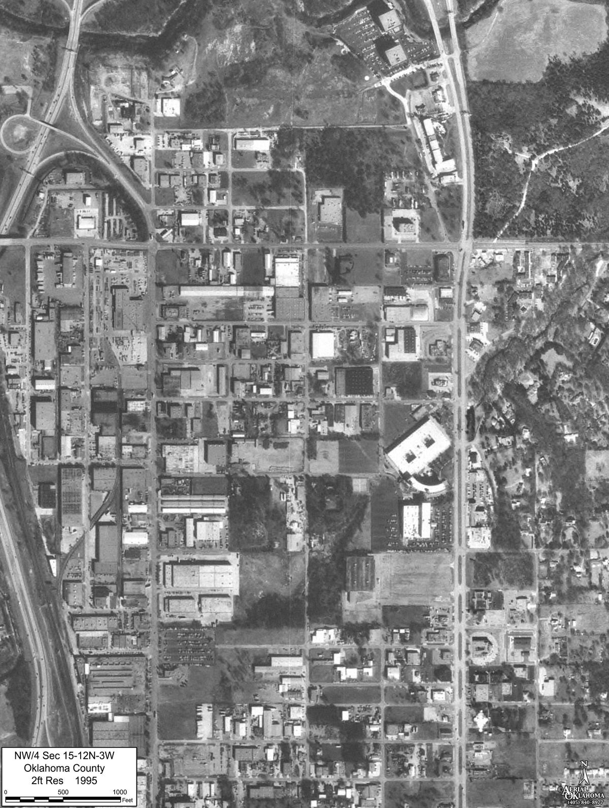
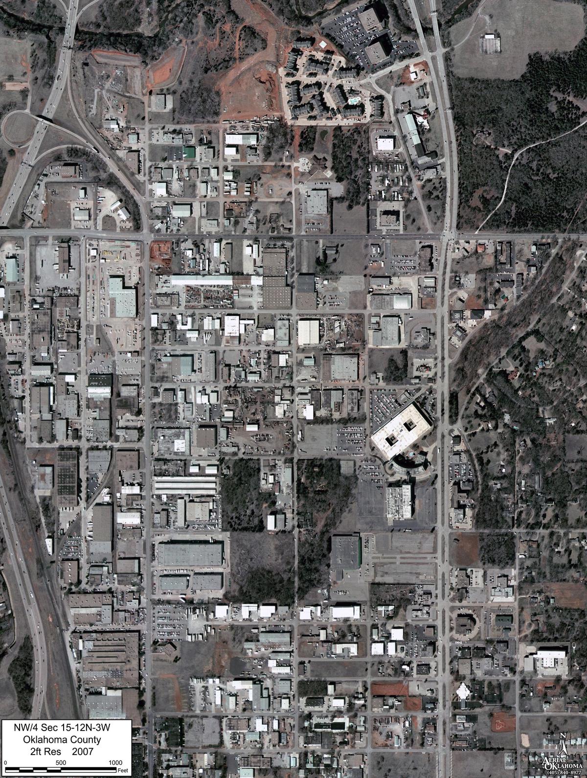
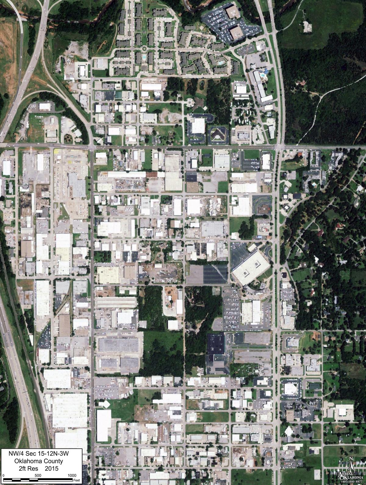
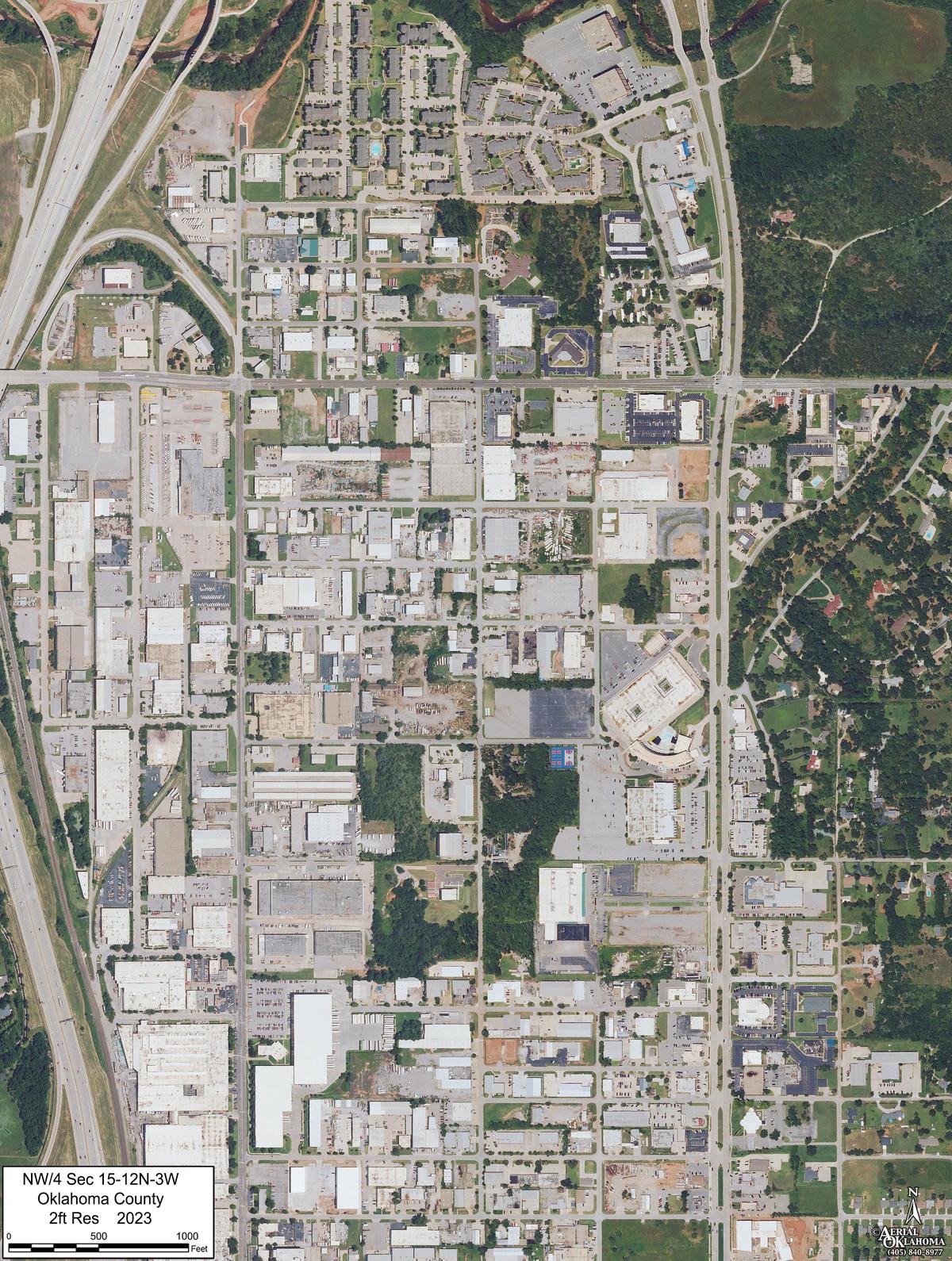
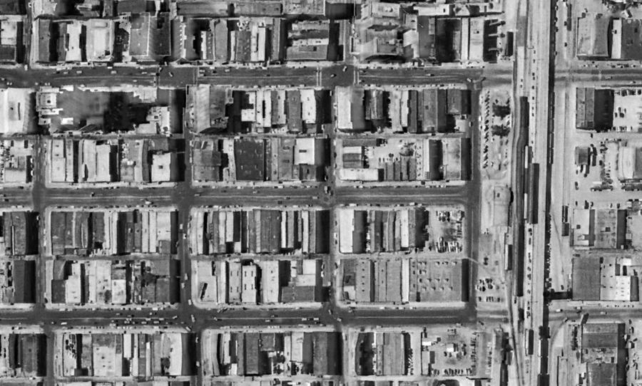
Six frames of the same few blocks of downtown Oklahoma City, from 1954 to 2026, lined up on one grid. The street grid is cleared, a convention center goes up and comes down, and an arena starts on the site. When a case turns on what was on the ground and when, this is how you show it.

Downtown Oklahoma City · 1" = 200' Open in the viewer ↗
1954: downtown Oklahoma City street grid lined with commercial buildings 1969: the same blocks cleared to bare ground under urban renewal 1984: the Myriad Convention Center roof filling the cleared superblock 2017: the convention center with the botanical gardens to the west 2022: the same building, now a film studio 2026: the building gone and a new arena under construction on the site

FramesSix, 1954 – 2026
Scale1" = 200' on the plate
CoordinatesNAD83(2011) / Oklahoma North (ftUS)
Delivered asGeoTIFF · GeoJPG · KMZ

In the viewer

Built for the work,
not for a demo reel

Everything here runs on the same model in the same browser tab, so a measurement, a turn study and a scaled sheet all agree with each other.

Plan view · north up · nadirIllustration
N 89°58' E · 430 ft S 00°02' E · 118 ft N 050100 ft ORTHO MEASURED AREA 50,740 sq ft 1.165 ac · perimeter 1,096 ft

True plan view

Switch to plan view and the model locks north-up and straight down, with no convergence, so the scale bar is right everywhere on the screen, the way a plat is. Measure lines, paths and areas against the model. The figures update live as you place corners, the corners drag, and they snap to the linework you're working from.

  • LINEFeet + quadrant bearing
  • AREASq ft, acres, perimeter
  • SNAPTo drawn lines and corners
  • LAYERSRight-of-way, plans, topo
  • LEGENDBuilt from what's drawn

FOR right-of-way agents · appraisers · counsel

Delivery

One link.
No attachments.

Large KMZ attachments get bounced by agency mail servers. A link doesn't, and it opens on exactly what we meant you to see.

Share a view

The link carries the camera, the plan or 3D mode, and any measurement, so the person you send it to lands on the same view.

view.aerialok.com/?p=…&cam=…

Downloads

KMZ, GeoJPG and zipped photo sets are in the viewer's Downloads tab, grouped by flight or by year.

KMZ · GeoTIFF · GeoJPG · ZIP

Private jobs

Client work sits behind a password inside the same tool. A shared exhibit never shows anyone the rest of your project list.

gated per client

Any browser

A laptop in a deposition, a phone on site, a tablet in a board room. Nothing to install and no license to buy.

no plugin · no GIS seat

If your files open in Google Earth Pro

June
2027

Google is ending downloads of Google Earth Pro for desktop, and most aerial deliverables of the last twenty years were made to open in it. Existing installs keep running for now, but new machines won't get it. Every job we host is already in the viewer, and the KMZs you already have keep working in the meantime.

For this jobGoogle Earth ProAerialOK viewer
Historical imageryGoogle's imagery, no stated source+Source and year on every frame, aligned by hand
The ground itselfImagery draped on coarse terrain+Photogrammetric mesh from our own flights
Scaled plan viewNone+True orthographic, one scale edge to edge
PrintingScreen capture+Plates at 1" = 100' and 1" = 660'
LegendMade by hand+Built from the layers that are drawn
Sending itAttach a KMZ+A link, private if needed

What we do

Acquisition to archive

Capture

Our own Cessna 177 with a PhaseOne 150-megapixel camera, flown once or on a schedule, weekly to quarterly.

  • AREASites and corridors, drawn on the map
  • RESOLUTIONChosen per job
  • POSITIONING3 cm PPK/RTK; checkpoints on request
  • PRICINGBy area or linear mile

Create

Orthomosaics, 3D models, surfaces, obliques and video, all published to the viewer and ready for GIS.

  • MODELS3D mesh, elevation, contours
  • EXHIBITSScaled plates, turn studies
  • MEDIAObliques, video
  • OUTPUTGIS-ready files

Archive

Historical Decade Packages from 1937 forward, aligned and packaged per site, anywhere in the state. Flights commissioned by clients are never part of the archive.

  • DEPTH1937 – present
  • COVERAGEStatewide Oklahoma
  • GRIDOne grid, every year
  • USELegal, environmental, title

From the archive · commissioned obliques

The uncommon angles

For commercial real estate and marketing: a property, a corridor or a skyline, photographed from the angle the listing needs. Dusk light, helicopter work and a city holding its breath before first pitch when the brief calls for it. Order an oblique package

Chickasaw Bricktown Ballpark under lights at night, aerial view
BRICKTOWN BALLPARKNIGHT · 2013
Oklahoma City street grid glowing at night, aerial view
THE GRID, LITNIGHT · 2013
Downtown Oklahoma City at dusk from altitude
DOWNTOWN AT DUSKNIGHT · 2013
Highway interchange at golden hour, aerial oblique
THE CORRIDORSHELI OBLIQUE
Downtown Oklahoma City at golden hour, close helicopter oblique
GOLDEN HOURHELI OBLIQUE
Sunset over Oklahoma City neighborhoods with skyline on the horizon
BIG SKYHELI OBLIQUE

Who we fly for

Built for the long record

Right-of-way & condemnation Corridor models with the agency's linework on top, scaled plates for each parcel, and historical frames that show conditions on a given date. Plan view · plates · archive
Utilities & generation Recurring flights of plants, substations and transmission corridors, on one timeline you can compare flight to flight, kept private to your team. Monthly · compare · obliques
Legal & expert work Environmental, easement and access disputes. Sourced historical imagery, measurements against the model, and exhibits built to be checked with a ruler. Archive · measure · exhibits
Construction Progress flights from notice to proceed through closeout. Surfaces, volumes and a visual record of every month. Monthly · 3D · video
Commercial real estate Oblique sets delivered as a gallery rather than a file-share link. Clients flip through, filter by lens, and download what they need. Obliques · gallery
Municipal Vertical mapping, dGPS control and 3D elevation models for planning, drainage and design. Mapping · surfaces

Contact

Start the record

Know where it is?Mark the location on a map, pick what you need, and a quote comes back by email.Request a quote on the map
Office4501 N Classen Blvd, STE 113
Oklahoma City, OK 73118
Already a clientOpen the viewer →
Goes to orders@aerialok.com. You get a reference number back at once.