Litigation support
Exhibits built
to be checked.
Historical frames that carry their source and date. Measurements taken on a model of the real ground, not a sketch. Plates at engineering scale with a bar you can check with a ruler. Two dates side by side on one screen. Made for counsel, right-of-way agents and appraisers, and made to be examined.
What a matter usually needs
Four questions,
four exhibits
Most matters that reach us ask one of these. Each has a standard answer that can be ordered from the map, and each can be taken further when the matter needs it.
-
What was there, and when
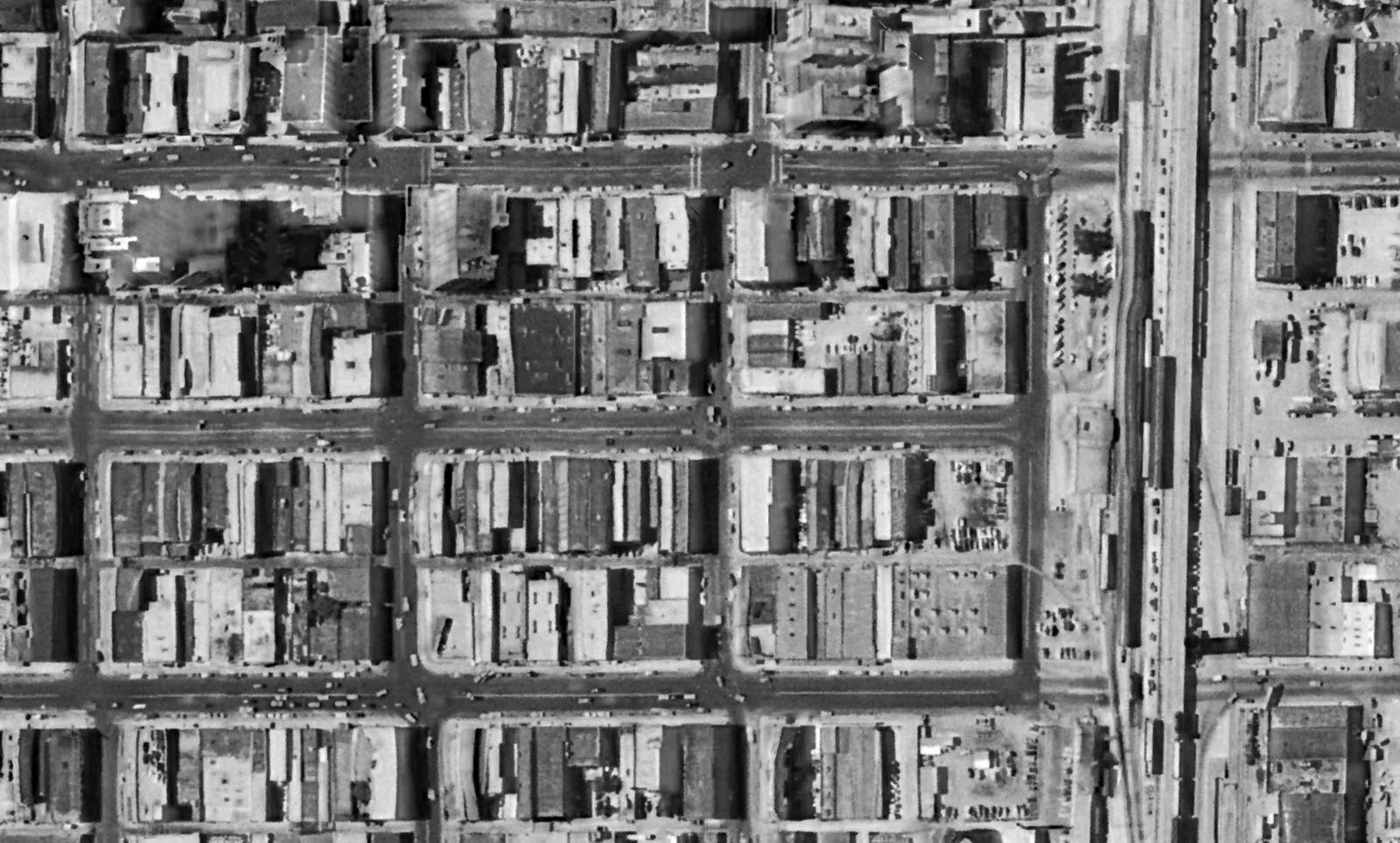
A Historical Decade Package: one frame from every year the record holds for the parcel, registered to one grid, each with its source and date, on a slider and side by side. The fence, the pond, the road, the building, in the year the question is about.
-
How big, how far, how much
Measurements taken in the viewer's plan view, which is true orthographic: north up, no perspective, one scale from edge to edge. Lines in feet with a bearing, areas in square feet and acres, all on a model built from our flight of the ground, with the corners snapped to the linework in question.
-
On paper
A plate at an engineering scale: imagery, linework, legend, title block with job, case and parcel, a north arrow, and a scale bar drawn at its true printed length so a ruler on the page checks the scale without trusting the number above it. Current model or any year underneath.
-
Then and now
Two dates on one screen with a divider between them, or a timeline of every flight of the site. Before and after the take, before and after the work, before and after the storm.
Kinds of matters
Where the imagery does the work
Working with counsel
Data first. Then, if the matter needs it, more.
Most matters start with the imagery: a package or a flight, ordered from the map like any other job and delivered by link, privately, to the people you name. Every frame carries its source and date, the registration can be described, and the plates carry what was on the screen when they were made and nothing else.
Some matters need more than the deliverable: a description of how the imagery was made and registered, or testimony about what it shows and what can be measured from it. That is discussed with counsel case by case, once we've seen the matter, and it is not something ordered from a form.
A flight you commission for a matter is yours: it is not filed in the archive, and it is never sold or licensed to anyone else. The packages themselves are built from our survey coverage of the state and the public record, which is why the same frames are available to either side.
We check for conflicts before taking on a matter, and we say so early if there is one.
What to send
The parcel, in any form you have: an address, a legal description, a pin, a drawn outline or a KMZ from the other side. The dates in question. What the exhibit has to show. A hearing date if there is one, so we can say what's realistic against it.
- HISTORICAL FRAMESOne per year held; source and date on each; one grid
- MEASUREMENTSFeet, bearing, acres; true plan view
- PLATES1" = 100' · 1" = 660'; letter; title block
- COMPAREAny two dates, one screen
- ACCESSPrivate link; you name who sees it
Questions
What counsel asks
Where does the historical imagery come from?
From our survey coverage of the state, going back decades, the film collections we digitized, and the public record: the federal farm-program surveys that began in the late 1930s and the government programs that followed. Each frame in a package names its source and date. Flights commissioned by clients are not part of the archive. Our archive is Oklahoma; for a parcel elsewhere we work from the public record and say what exists first.
Can you describe how a frame was registered?
Yes. Each historical frame is georeferenced to current mapping and cut to the same footprint at the same scale; the steps can be described, and the current mapping it was registered to comes from our flight of the ground.
Do you provide testimony?
When a matter needs it. Jamin Yeager, the owner, has been qualified as an expert witness in Oklahoma district courts since 2021, has testified at deposition and trial, and has authored expert reports on historical aerial imagery and land use through time. That is discussed with counsel case by case after we've seen the matter, and it is separate from ordering the imagery, which anyone can do from the map.
On the record: expert witness for the prevailing party in Lambeth v. Kelly, et al., CV-19-2780, District Court of Oklahoma County, a fence-line dispute argued on historical aerial research, maps and exhibits, with an expert report, deposition and trial testimony.
How fast, for a hearing?
A standard package goes out quickly; a set of plates takes longer; a new flight depends on weather. Send the date and we'll say what is realistic against it before you commit.
Who can see the exhibits?
Only the people you name. Client work opens from the link we send you, not from a public list, and a shared exhibit link never shows anyone the rest of your project list.
Contact
Describe the matter
The parcel, the dates in question and what the exhibit has to show. No case detail is needed to get a quote for the imagery.
Oklahoma City, OK 73118